- EN
- IT
- EL
Details
Help
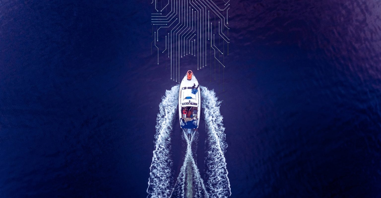
The ARGONAUT Project is a cross-border initiative under the Interreg VI-A Greece–Italy 2021–2027 Programme aimed at promoting sustainable nautical tourism in Apulia (Italy) and Greece. This online tool – called “Adriatic Maritime Route Planner” – is developed within the Project.
Planning a Route
- Tap the Plan a route button (🧭) at the bottom of the screen to open the route planner.
- Select a departure port and a destination port from the dropdown lists. You can also choose Current Position as the departure point to use your GPS location.
- Set the departure date and time. The planner uses this to fetch the correct weather and sea-state forecast.
- Press Calculate Route. The system computes an eco-optimised route that minimises fuel consumption while accounting for winds, currents, wave height and restricted areas.
- Review the route summary: estimated travel time, distance, fuel consumption and CO₂ savings compared to a straight-line track.
- Use the swap button to instantly reverse departure and destination.
The route is automatically refreshed every 15 minutes while displayed, so the optimisation always reflects the latest forecast.
Port List
Ports are sorted by country and then alphabetically. The country flag appears next to each port name. If a locality is available it is shown after a dash (e.g. Marina di Brindisi - Brindisi).
Map Interaction
- Click on a port or POI marker to open its info popup. Long descriptions show a "read more" link that opens a full-screen view.
Suggestions
After computing a route, nearby points of interest (restaurants, beaches, marinas, historical sites…) are shown in a carousel. You can also browse them in the gallery at the bottom of the screen.
Warnings
If the computed route crosses areas with high waves, low visibility, MPA restrictions or heavy traffic, warnings appear in a side panel (desktop) or summary bar (mobile). Tap the summary bar to see all details.
Account & Saved Data
You can use ARGONAUT without an account — your vessel profile and settings are saved locally in your browser. To keep your data across devices, sign in or create a free account via the menu (☰ → Sign in / Register). Once logged in, your profile is stored on the server and available on any device.
Vessel Profile
Open the menu (☰ in the top-left corner) and choose Settings to set your vessel type, draft, cruising speed and fuel consumption. These parameters affect the route optimisation. Your profile is saved locally in the browser.
Language
Use the language selector in the top-right corner to switch between English, Italian and Greek. Port and POI descriptions are displayed in the selected language when a translation is available.
Disclaimer
ARGONAUT is a navigation aid only. The captain remains solely responsible for all decisions at sea. Always cross-reference with official nautical charts and weather bulletins.
Welcome to ARGONAUT
Route Planning Service
About ARGONAUT
The ARGONAUT Project is a cross-border initiative under the Interreg VI-A Greece–Italy 2021–2027 Programme aimed at promoting sustainable nautical tourism in Apulia (Italy) and Greece. This online tool – called "Adriatic Maritime Route Planner" – is developed within the Project.